What I learned of winter hiking at the Boulder Trifecta

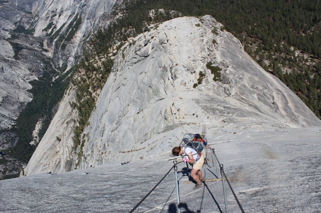
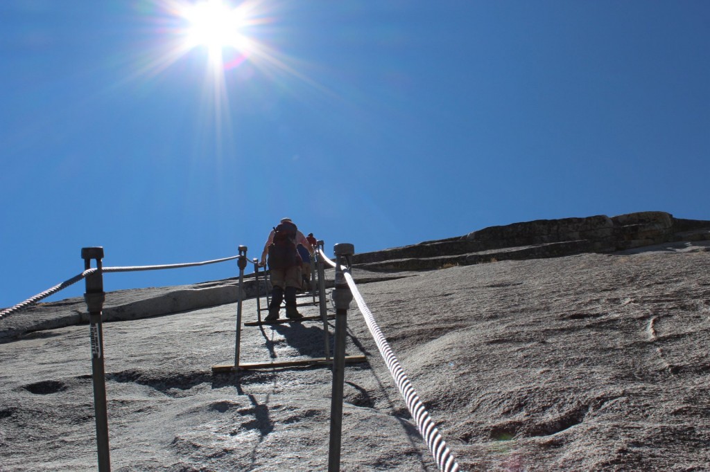
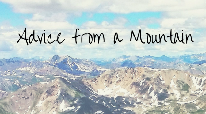
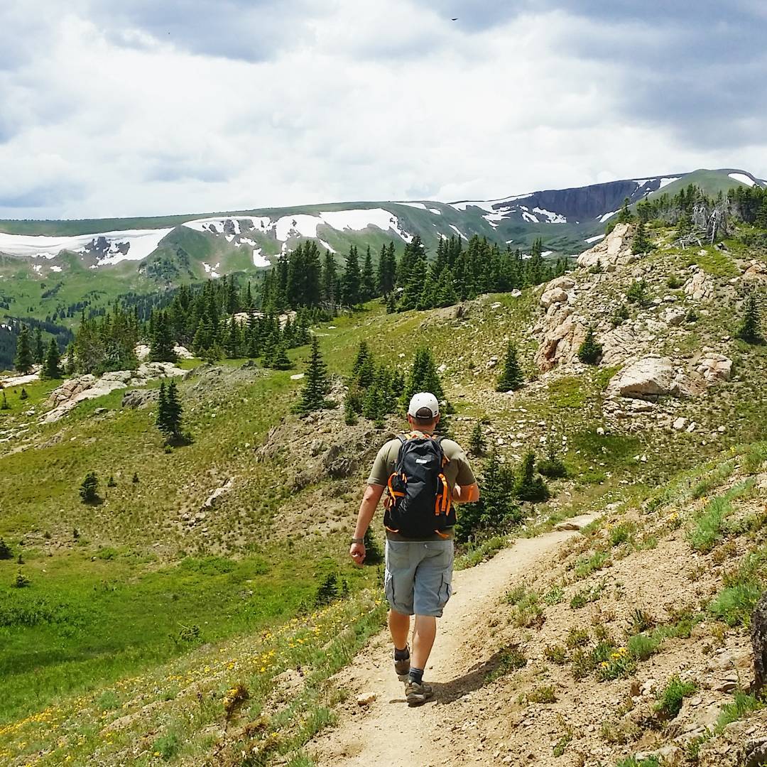
Hiking used to be a summer activity for me, but in the four seasons of Boulder, Colorado, with hiking clubs active year-round, I’ve slowly started to change my mind and gotten accustomed to winter hiking. Last Sunday I put my winter hiking skills to the ultimate test by attending the Boulder Hiker ChicksWinter Trifecta, a tour of Boulder’s three local peaks.

Boulder Flatirons at Sunrise with snow
Flatirons at sunrise. This was the end point for our hike, so we met up with a smaller group here at sunrise to carpool to Mesa Trailhead.

Rather opt for more clothes than less.

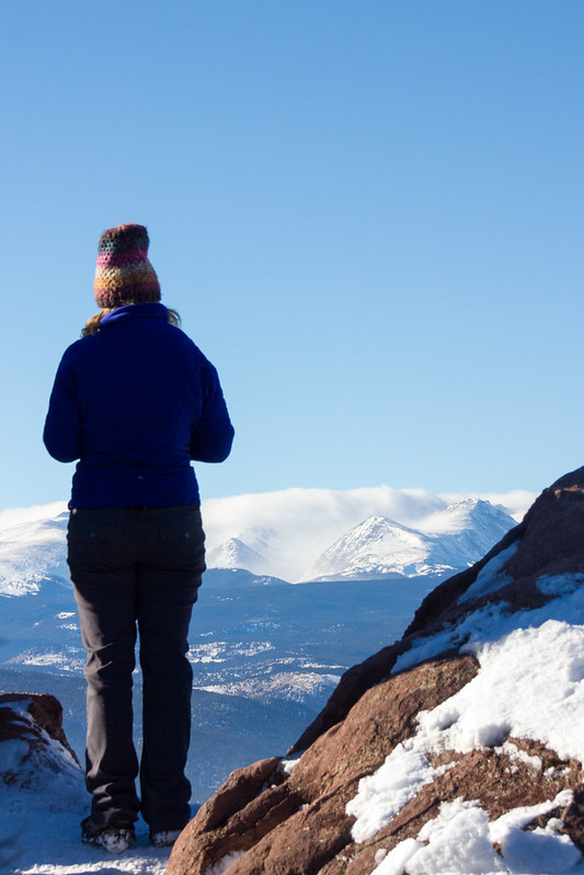
It was around -12C when we started the hike, but the forecast said the temperature would rise above 0 in the afternoon. On the other hand, we’d be walking along peaks and ridges with a chance of high winds. And then again, you’ll get warm when you walk. So what to wear on a winter hike?

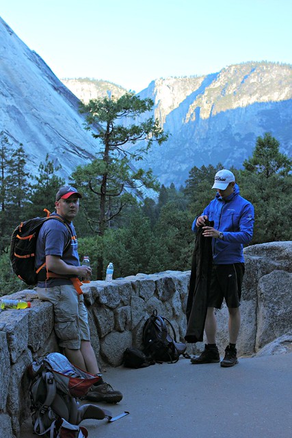
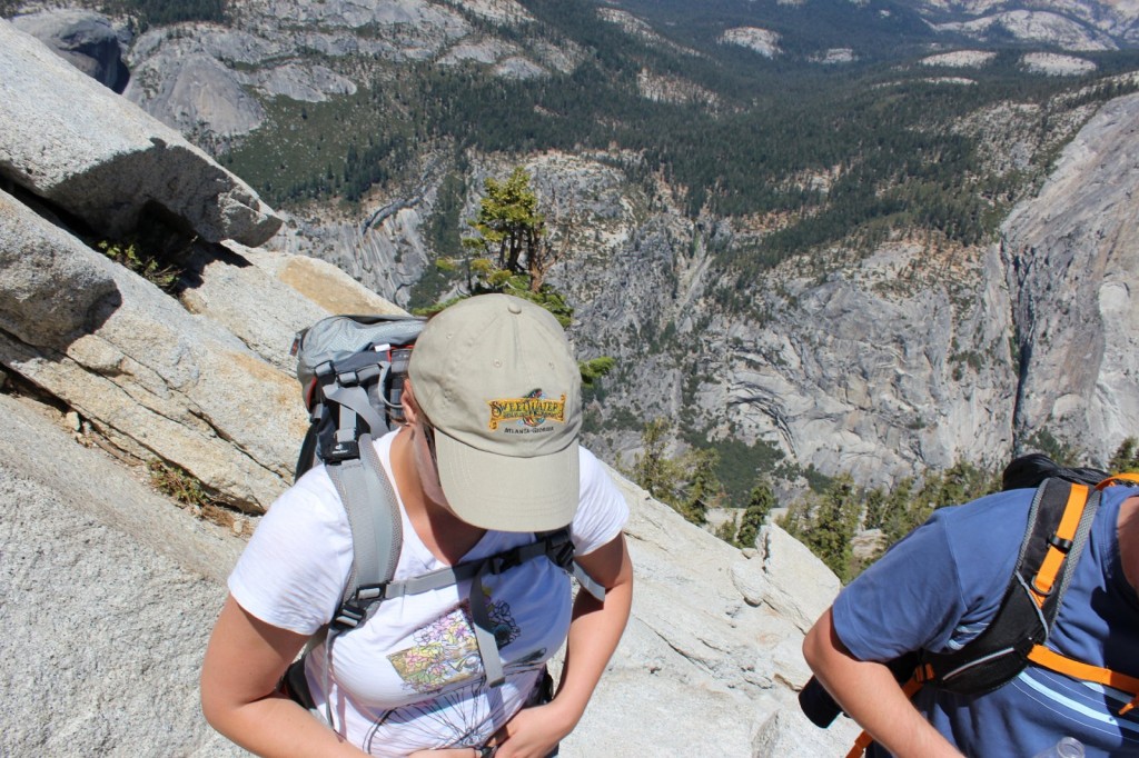
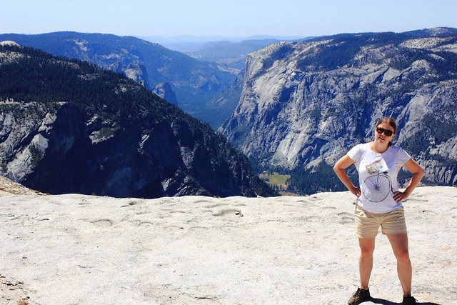
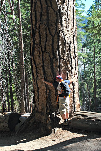
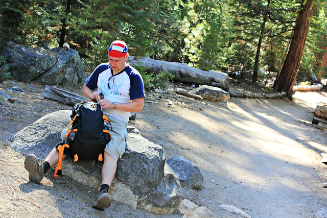
I wore a technical T-shirt underneath, because earlier I’d hiked in wintertime with a cotton shirt, sweated it while climbing, and then shivered coming down. Not an experience I’d like to repeat! On top of that, I wore a NorthSky microfleece and a softshell jacket. Because I always take something extra with me in case I get cold, I also packed a Patagonia vest because of its light weight. I ended up putting the vest at the first summit and wearing it for the remainder of the hike, instead removing my jacket when needed.

On my legs I wore Patagonia leggings for warmth and waterproof pants on top of them, plus good quality hiking socks. For my hands, I only had a pair of knit gloves, which proved to be sub optimal when I had to use my hands to support my climbing efforts. Waterproof gloves would have been a better choice in the snow.

Climbing up from South Mesa Trailhead

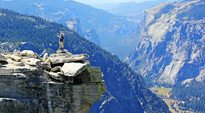
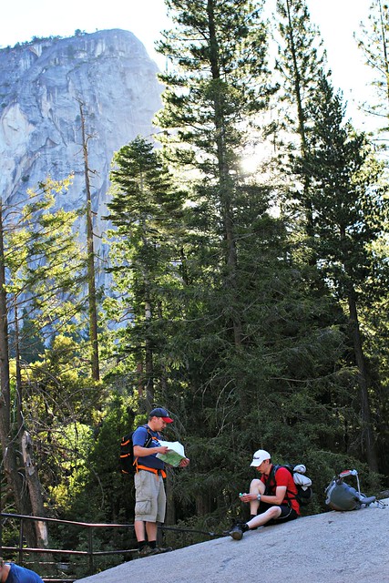
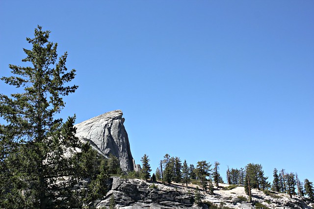
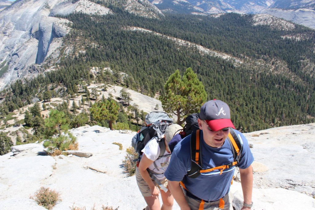
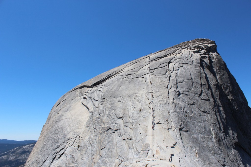
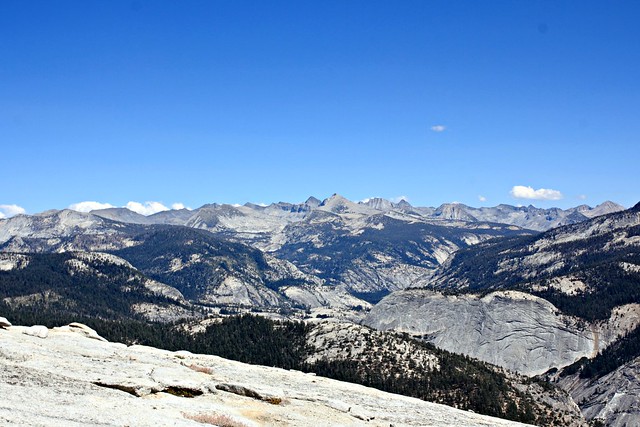
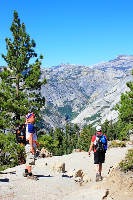
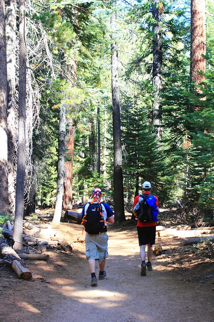
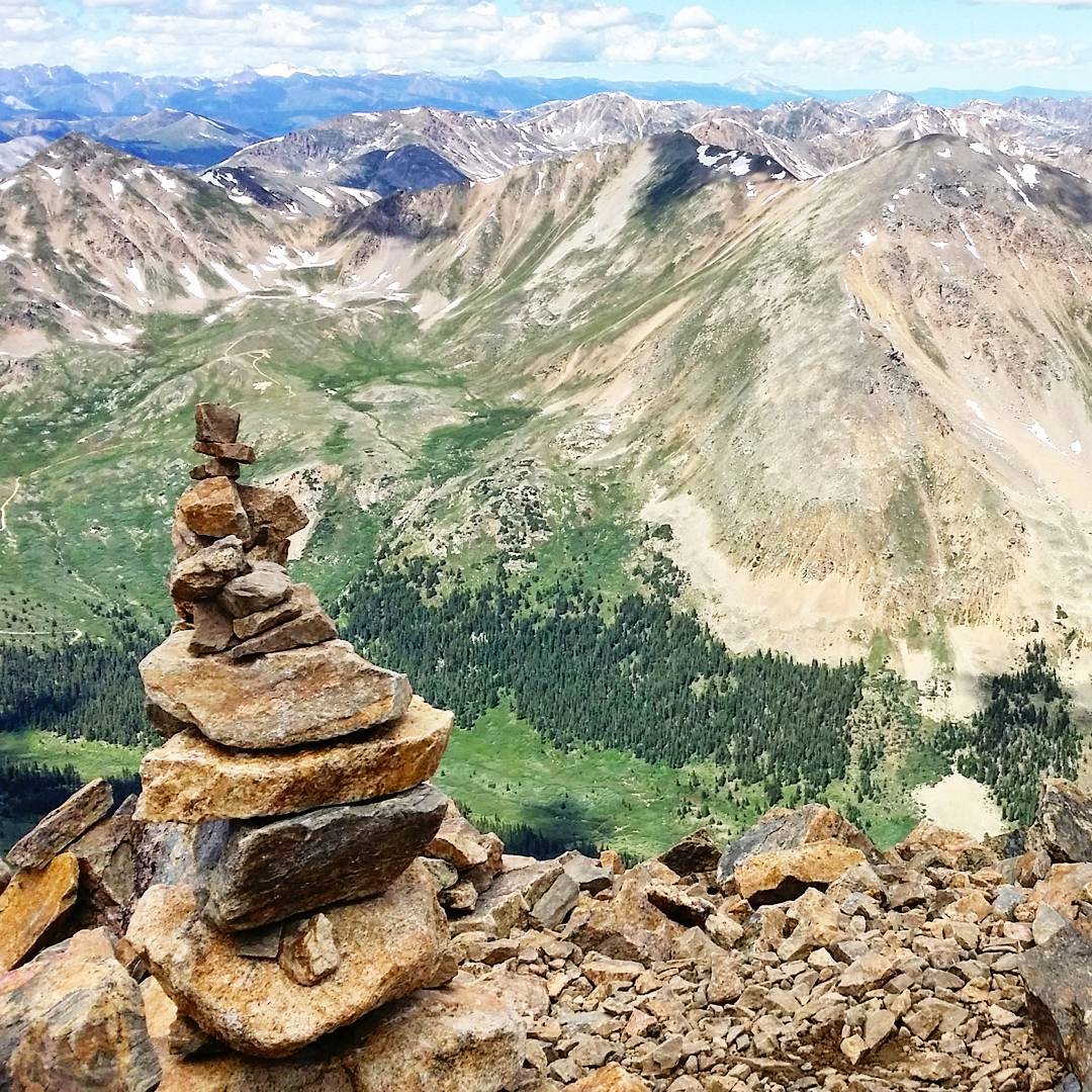
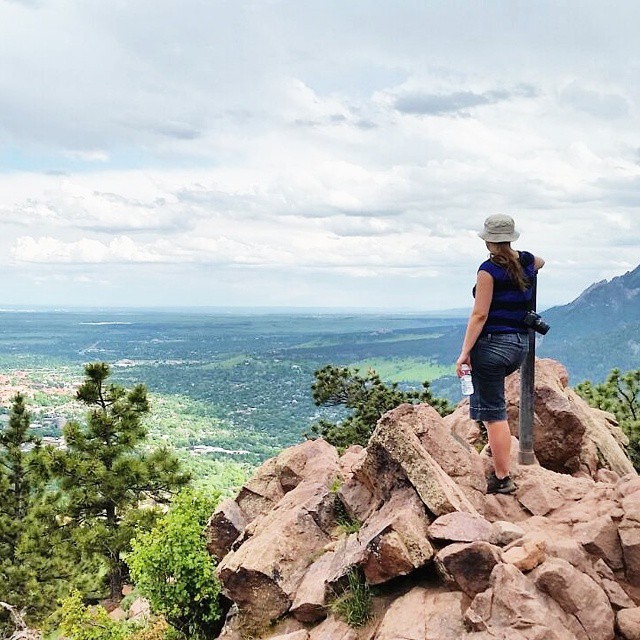
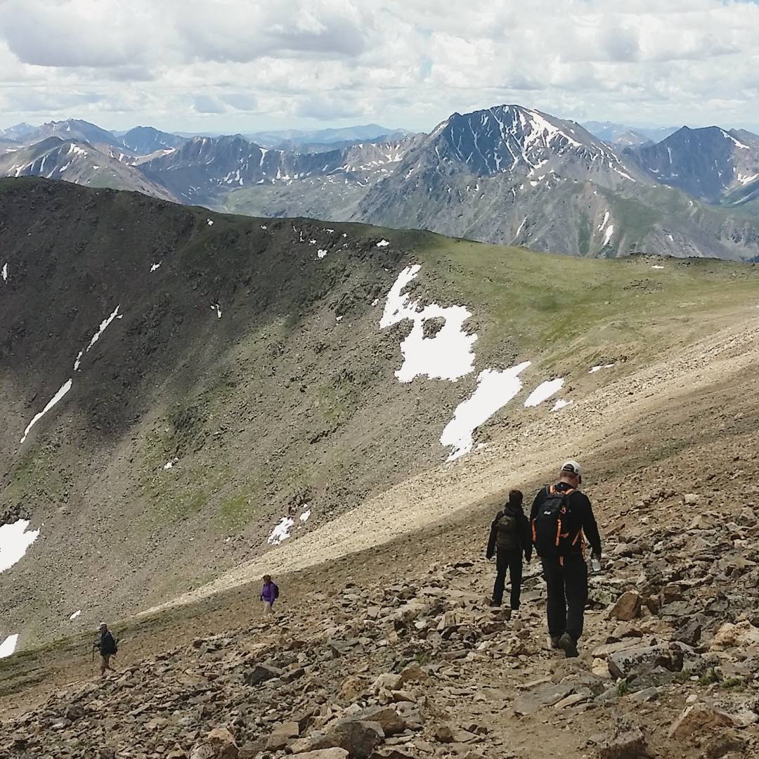
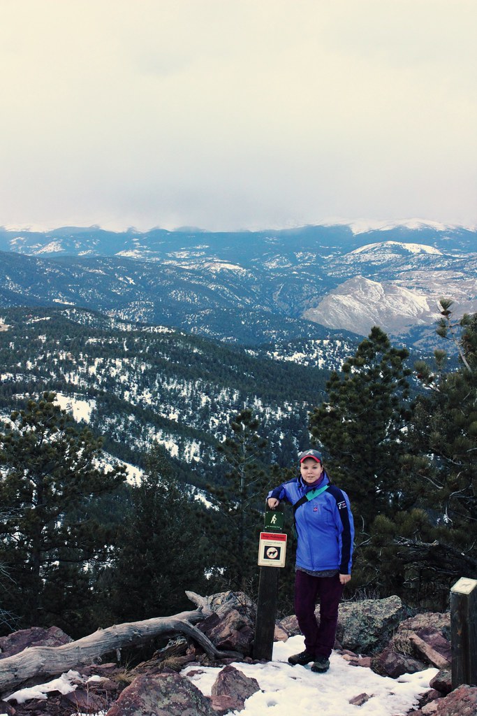
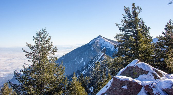
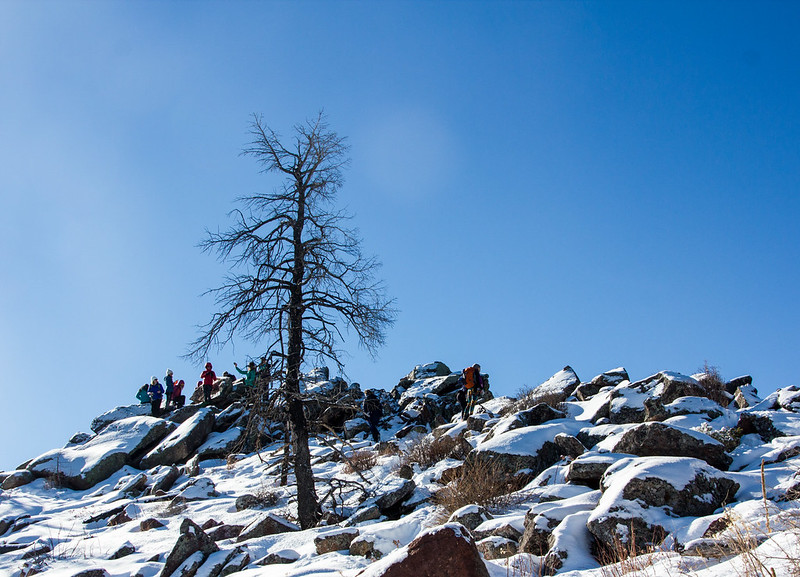
We met up with our hiking group at Mesa Trailhead at 8am in the morning, and after a short regrouping we started off to our first goal, South Boulder Peak (2606m). In Boulder’s hiking terminology, “trifecta” means the route that passes through Boulder’s three big local peaks. After South Boulder Peak, we’d continue on to Bear Peak (2579m) and from there on traverse to Green Mountain (2482m).

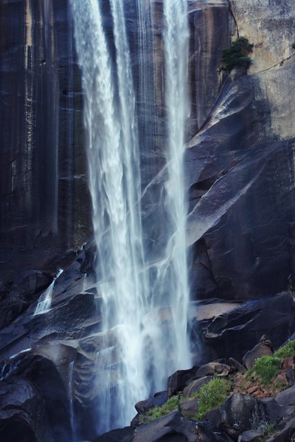
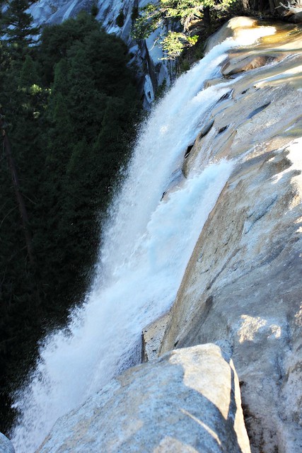
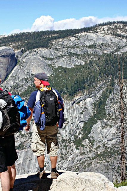
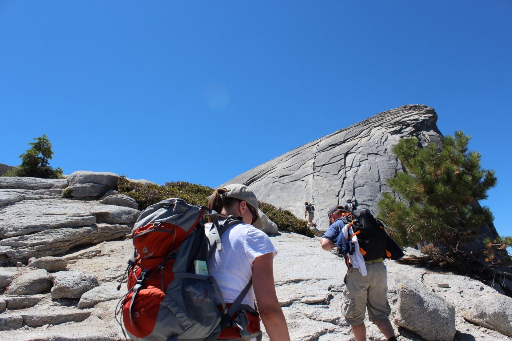
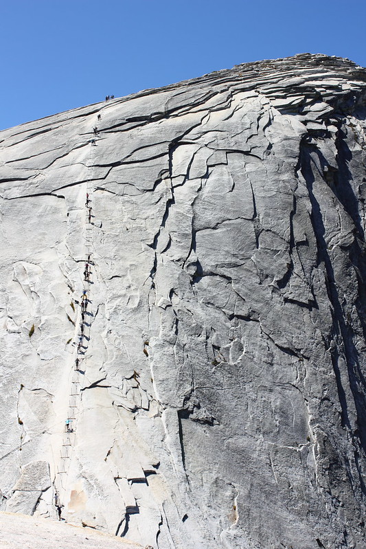
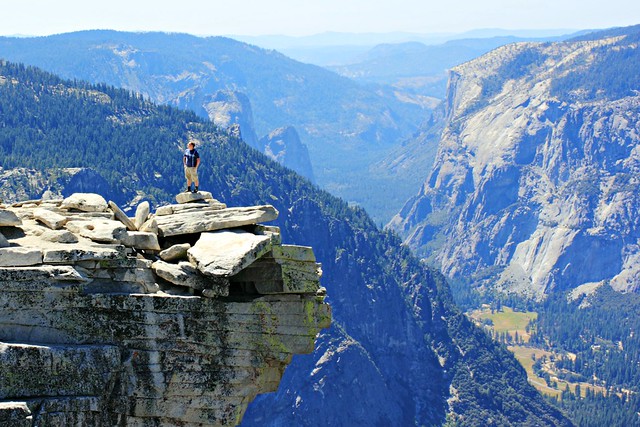
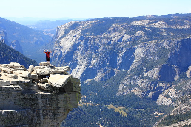
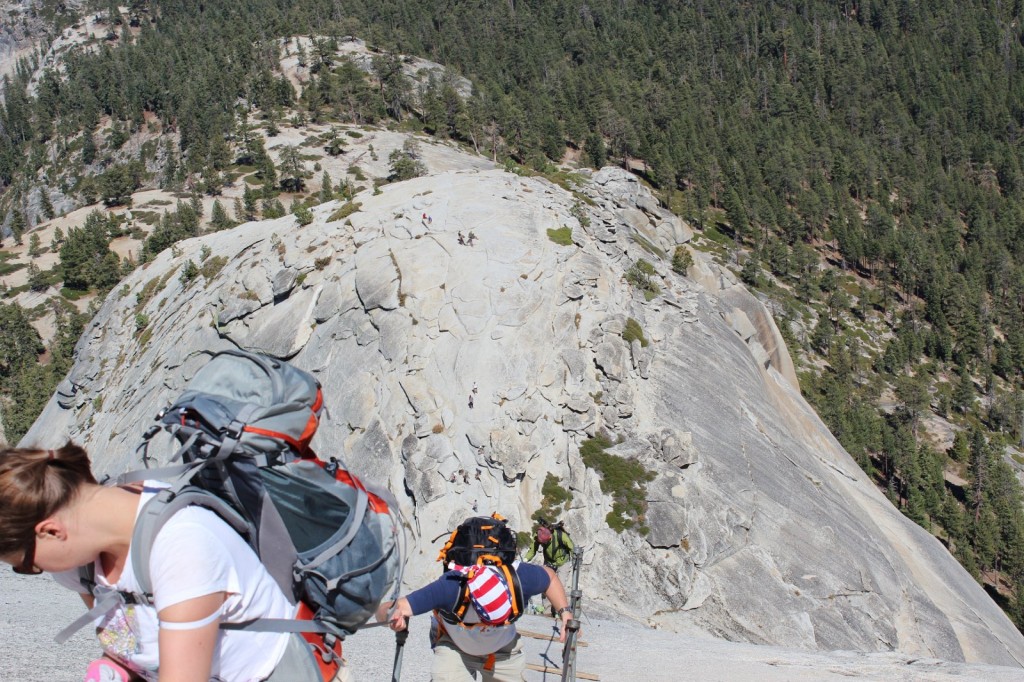
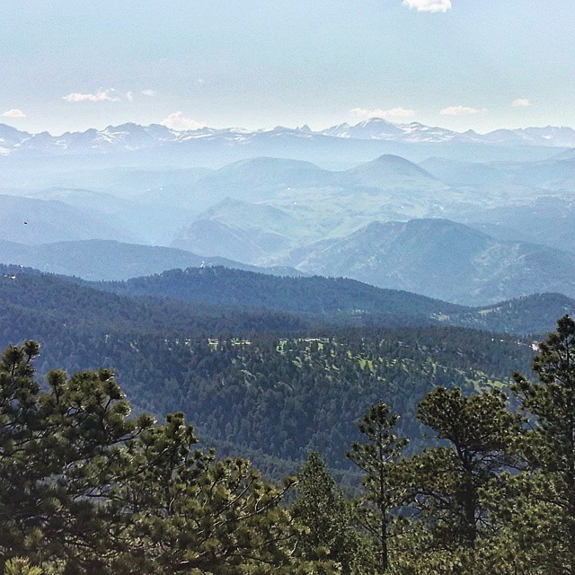
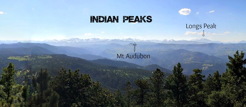
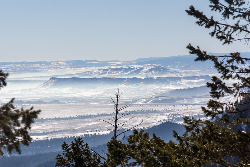
Completing this route from South to North meant that we’d be climbing to the highest peak right in the beginning. The route through Shadow Canyon felt like it took forever, but finally we started seeing remnants of a past forest fire around us, which meant the peak wasn’t far. The horizon also opened up for a view of surrounding Front Range.

View from Shadow Canyon, Boulder

What food and drink to pack for a day’s winter hike

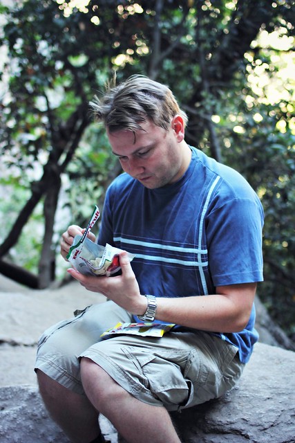
On day hikes, my nutrition is based on a cheese sandwich packed in a ziplock. Since this would be much more demanding than your average day hike, I needed additional sources of energy. I ended up packing:

  • Half a bag of trail mix, which I snacked on whenever I felt low on energy on the long climbs up.
  • Mini bag of chips. Chips seem to be a big thing with American hikers, as everybody instructed me to pack them before the hike, and bags were passed around at every peak by fellow hikers. I ended up not eating mine, but it’s a nice backup to have.
  • As a backup, one Clif Bar. In case I get lost or sprain my ankle, or something, it’s good to have more food than you plan on eating.

In addition, somebody passed around some Clif BLOKS before the last climb. It was either the caffeine-infused snack or the great company, but the last climb wasn’t half as bad as I thought it would be.

“Take snacks of every kind, so you’ll always have something you feel like eating on the trail.”

During summer hikes, I drink around half a liter of water per hour, but the winter’s a completely different thing. I packed 1,5 liters with me and ended up drinking less than a liter during the whole hike. One pro-tip for winter hikes: Don’t fill your water bottles with cold water straight from the fridge. It’s not fun to drink water that’s turned into ice slush.

South Boulder Peak
At the summit of South Boulder Peak

The Ten Essentials

This should be nothing new to anyone who hikes, but there’s a list of 10 essentials you should always pack with you for longer hikes in the backcountry. Normally for a hike on Boulder’s local mountains, I wouldn’t bother with all of these, but this hike was a full day, longer than usual, and sometimes a little far from civilization, so it’s better to be safe than sorry. What I packed for my winter hike was:

  1. Topographical map. I prefer National Geographic maps for hiking in the US. In addition, I had a compass, which I ended up not using on the well marked trails, but which could have come in handy if I had lost my way.
  2. Sunglasses and sunscreen. Colorado sun and the snow pretty much make these mandatory. I still managed to forget both but luckily another hiker had an extra pair of glasses and people passed sunscreen around on the way.
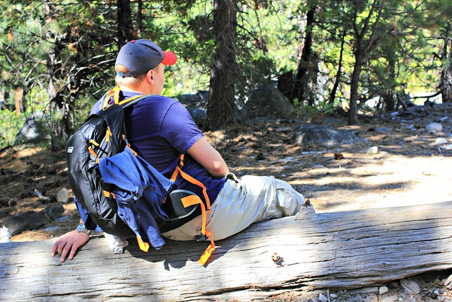
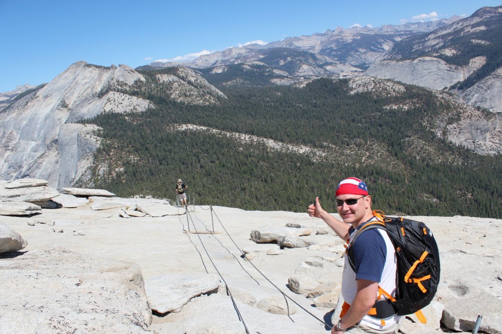
  3. Extra clothing. That vest, which ended up not being extra at all.
  4. Headlamp. Our intention was to get back before dark, and while I managed to do that, part of the group got lost and would have had to hike back in the dark if one person hadn’t gone to pick them up with a car from an earlier trailhead. Delays are always possible, so never trust the sun.
  5. First aid kit. I’ve filled a small beauty box with bandaids, desinfection liquid and other first aid essentials. My husband added in some M&Ms for good measure.
  6. Extra food...
  7. …and extra water.
  8. Space blanket, in case you break a leg and need to wait for hours for help.

Yep, there’s only eight things there. I left out two, another by accident and the other on purpose. I forgot to pack my Swiss army knife – I’ve needed it every now and then, so it’s good to have – and I left out matches on purpose, because Boulder’s Open Space & Mountain Parks prohibits fires.

Winter hiking down South Boulder Peak

Don’t slip!

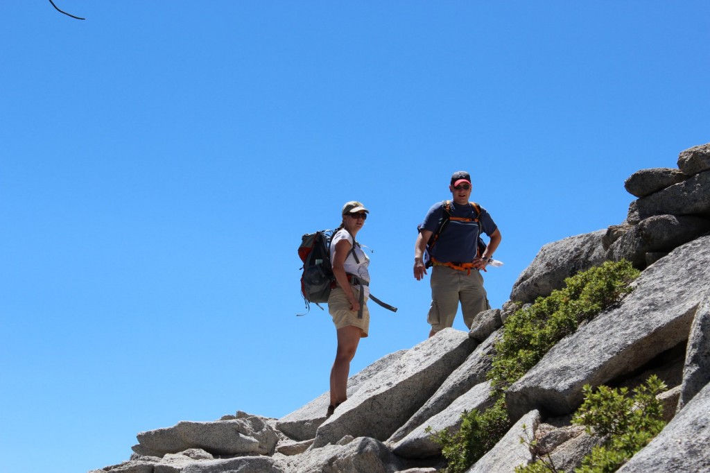
Everybody has their own taste in hiking boots. High hiking boots are recommended, but since I’ve never sprained my ankle, I prefer the more light-weight low boots from SCARPA. When hiking up mountains, I always use approach shoes that have a sole with better traction. They’re not as comfortable to walk in as normal hiking shoes, which is why I don’t wear them on flat hikes.

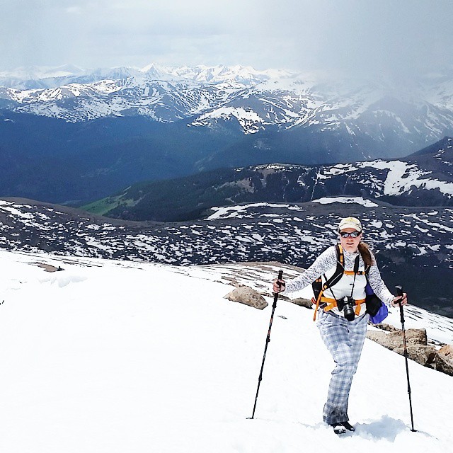
On winter, you need traction on your shoes if you’re going to hike any kind of grades. I wore ICETrekkers Diamond Grips, which I’ve found work well on ice, but in slippery snow they were no match for Kahtoola Microspikes that many others were using. In the snow, gaitors would have also come in handy, and while the trails were trampled enough, I got some snow up my shoes a couple times while stepping on the side of the trail to give way to fellow hikers.

Longs Peak view from Green Mountain
Longs Peak at Rocky Mountain National Park was clearly visible from the peaks.

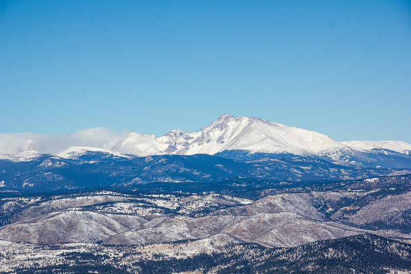
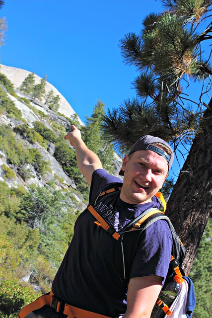
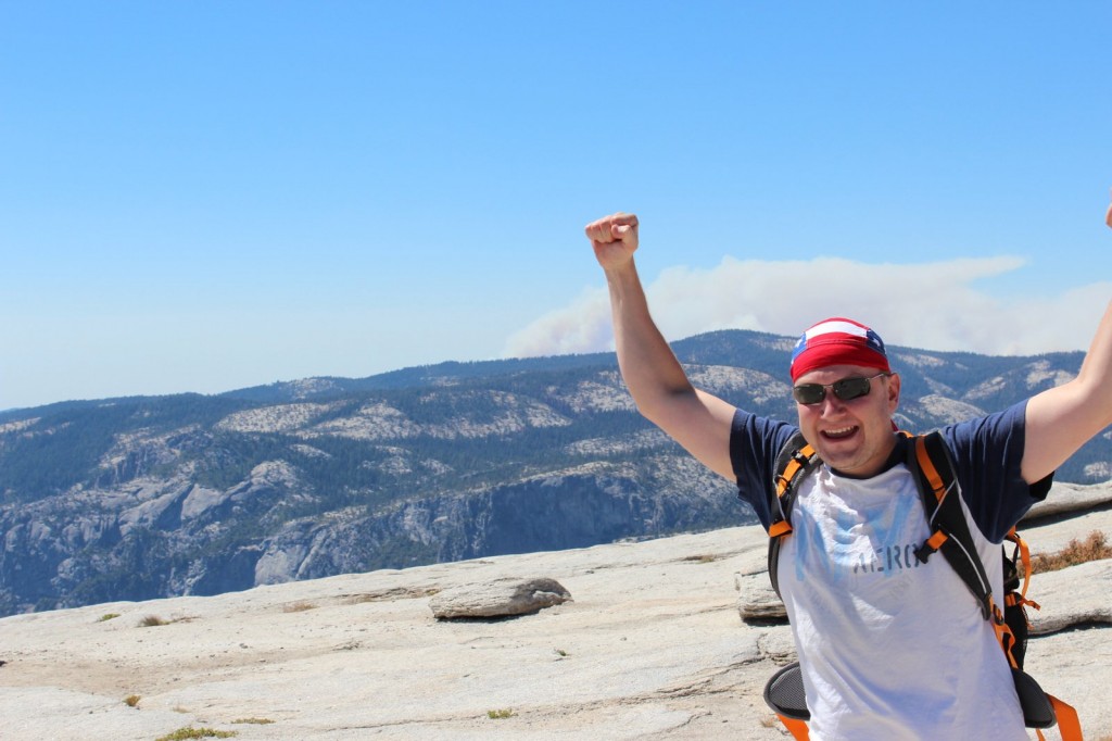
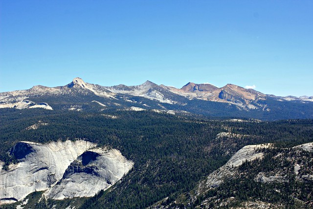
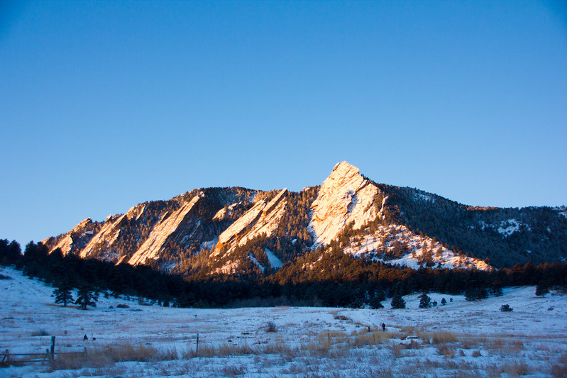
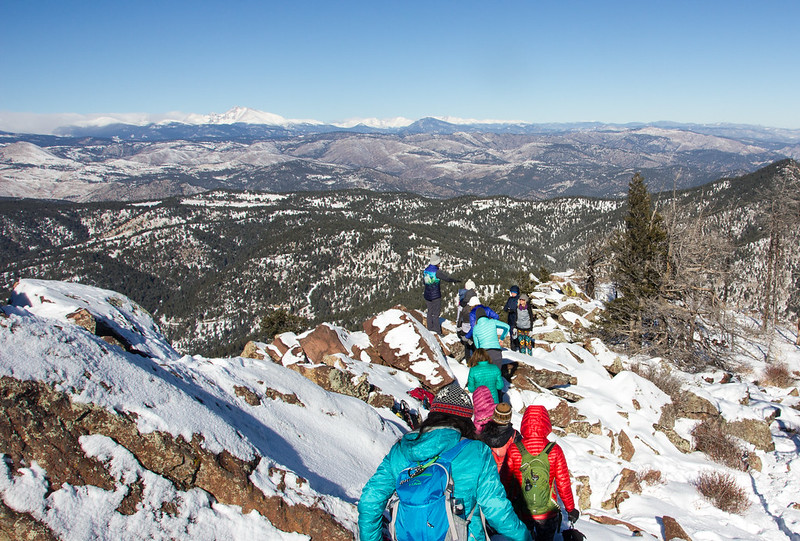
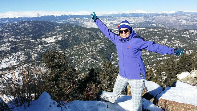
The weather gods favored us on our trip, and even though wind on Bear Peak was brutal, I’d say overall the weather was excellent, with blue skies holding on for the whole day. Perfect day for a hike, that is!

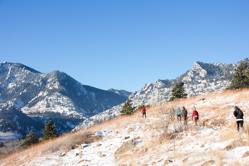
We saw other hikers on the way, but even more so we passed (or were passed by) trail runners who hopped around the peaks in shorts. I would never be able to run up or down those mountains in winter – up because of my fitness level, and down because I’d be too scared of slipping.

View from Green Mountain

On top of Green I already felt my feet hurting, and the next day I had trouble moving, but my spirits were high the whole time. Fastest hikers in our group did the route in around seven hours, while I took around eight for the whole trip. 11 miles, over 4000 feet of elevation gain. I had really earned that burger at Chautauqua Dining Hall!

Jenni winter hiking on South Boulder Peak

Happy hiking!

How I Hiked Yosemite’s Half Dome – and you could too!

Yosemite Half Dome
Our goal: Yosemite’s Half Dome in all its glory!

I don’t remember exactly how we got the idea to hike Yosemite’s Half Dome. I think I spotted the hike in some magazine, and although I’d never heard of it before – hey, I’m from Europe! – we were already planning an adventure to California and it sounded like it would fit right in. While researching, I ran across an article in Backpacker, calling it one of the most dangerous hiking routes in the US, and that sounds kinda cool, doesn’t it?

In order to do the hike, you need to take part in the Half Dome Permit Lottery, arranged around March each year, and if you’re lucky, you’ll win a permit to hike up those cables. There’s a limit of one ticket per person, so we put in two, and one of our tickets won a permit that covers a maximum 6 hikers. I recommend putting in more than one ticket if you really want to do this!

Yosemite Half Dome leirintäalueelta nähtynä
Half Dome (2695 m / 8844 ft) as seen from our campground

We stayed the night before our climb at Curry Village tent cabins, a very short way from beginning of the trail. We were aiming to start off before sunrise, but we made the mistake of not preparing with our own breakfast and had to wait until 7am to get some from Curry Village’s Coffee Corner. (They have pretty good lunch bagels you can pack as take-away on your hike!) If you’re coming from sea level, sleeping in Yosemite Valley is a good idea to get yourself at least a bit accommodated to the thinner air.

Bussia odotellessa Yosemitessa
Waiting for the shuttle bus from Curry Village to the trailhead at 7.30am

We were three of us on the trail: Iiro, Aki and I. Only Iiro had the courage to leave in shorts, but he made the right choice. In less than an hour, Aki and I were changing our long pants into shorts and packing away our sleeves. It was a great mid-August day with sunshine and warm temperatures predicted for the day, so we were really in luck.

Vaatteidenvaihto Half Dome Traililla

The very beginning of the trail was fairly easy, but it quickly turned into stairs and our calves and quads were feeling it. Unless you’re in really good shape (like Aki was), this is a hike you should train for. I had been a regular at Step classes, hiked along the Ardennes and followed a 6-week program that I can fully recommend. Iiro, living in Georgia at the time, had climbed up Kennesaw Mountain at least once a week. Maybe thanks to our efforts, we passed a group of Asian girls at Vernal Falls – but at the same time, one woman passed us running up the stairs, so we definitely could have been more in shape, too.

Vernal Falls on Half Dome Trail, Yosemite
Stairs at Vernal Falls
Vernal Fall, Yosemite
If you don’t want to hike all the way to Half Dome, hike to Vernal Falls. The trail up there is beautiful!

I had trained for the hike with a backpack full of water, and my backpack on the hike ended being around 9kg (20lb). We’d taken with us 6 liters of water per person, and all of us had around two thousand calories worth of nuts, energy bars and trail snack that we stopped to eat around every 45 minutes. This was a pretty good pace for us, because it kept our energy levels high despite the intensive climb, and it also gave us a chance to catch our breath at regular intervals.

Vaellus Half Domelle
We got all our snacks from Costco, which had a great variety of stuff at bulk.
Vernal Fall, Yosemite
Vernal Falls from above. 1524 m.
Pause on top of Vernal Falls, Yosemite
You don’t especially need a topo map on the trail, but it was great to be able to check how long we still had left to the top.

After Vernal Falls, it was a similar effort to make it up to Nevada Falls along some tight switchbacks, but then it got easier. At an altitude of around 1800m, after climbing up 600 meters (around 2000ft) and hiking for 4,2km (around 2.5 miles), all of which took us several hours, we reached Little Yosemite Valley, a flat portion of the trail in a forest which felt like dancing on clouds compared to the climb we had just done. At this point, we finally saw Half Dome for the first time after leaving the trailhead.

Iiro pointing at Half Dome
There it is!

After a couple kilometers in the valley, the trail continued climbing up. All the while we’d seen other hikers on the trail, but now we really started reaching slower hikers who had left already before dawn. Considering how tough the trail was, it was surprising that the hikers ranged from kids to retirees and everyone in between. All the better to them!

Harmaaorava Yosemitessa

The last official toilets we’d seen were at Nevada Falls, so potty breaks in the bushes were a thing at this point (and if you don’t need them, you haven’t drunk enough water). And here’s a word of warning to you: while I was doing my business in the woods, I heard a buzzing noise, and then a horrible pain in my bicep. I didn’t stay to figure out what kind of insect had bit me, but instead I got back to the trail as fast as I could and for a while could just lay in the ground trying to wish the pain away. We had some ibuprofen with us, which took a while to settle in, but antihistamine would have been an even better addition to our first aid kit.

Patikointi Half Domelle

Matka Half Domelle
Mount Broderick. Half Dome is not the only halfish-dome-shaped mountain around here.

When we finally reached 2300m, the views really opened up. We were a bit worried to see dark clouds in the horizon, because the rule is that you should never climb Half Dome if there’s any sign of thunder on the horizon: the mountain attracts lighting to it like honey attracts bees, and several hikers have died in lightning strikes. This is also why you should reach Half Dome before noon, because afternoon thunderstorms are common in the area. We only reached the check point at half past noon, and I’d say that’s around as late as you should get there without turning back.

Melkein Half Domen päällä
Later we realized that the “clouds” were actually smoke from wildfires in the area.
Park Ranger at Half Dome
Park Ranger checking permits just below tree line. The ranger had a list of people who’d won the permit, but we had our own print of it with us just to be sure.

At the ranger check point, we rested for a while and prepared for the final ascent: summiting Half Dome. First 150m (500ft) were a tougher-than-tough climb, the latter 150m were pure crazyness.

Yosemite Domen alkupuolikas: switchbackeja ja lisää switchbackeja (kuva: Aki)
On the way up the switchbacks
Pitkä matka alas
I have a fear of hights that isn’t very strong but started to get the better of me when we got above treeline. This is why all of the photos above treeline have been taken by Aki, because i couldn’t stop anymore to take photos.
Switchbackeja kiivetessä piti pysähtyä haukkomaan henkeä parin metrin nousun välein
The other reason was that i was in too bad of a shape to do anything but put one foot ahead another and try to catch my breath.
Siinä se edessä häämöttää: köysirata!
Almost done with the switchbacks, and the 150m-of-pure-craziness is already visible ahead of us.

The reason why Half Dome is one of the most dangerous hiking routes in the US is the last 150m meters of it: The Cables. Sure, you could sprain your ankle, fall and hit your knee or suffer from dehydration on other portions of it, but if you fall at the Cables, you fall down. Like really down. Like almost a mile down. Basically, it’s a “make a mistake and die”-portion: you hold on to two cables that ascend up the rock at a 70 degree angle at its best. Every couple meters, there’s a wooden plank where you can stay for a moment and catch your breath, but not for long because there’s people behind you who want to get up – and other people descending the same route.

Half Dome Cables
When we looked at photos of the Cables before the hike, we thought they were taken from an especially dramatic angle or something, and they’re probably not as dramatic in real life. Well, they are. Every bit as dramatic. This is a completely realistic photo of what it’s going to be like.

The wind at the Cables was so strong it was hard to stay upright, and all around me the rock plunged into sure death. From the switchbacks, I crawled on all fours towards the Cables, until I got behind a large boulder and broke down: I can’t! This is horrible! There’s no way I’ll get up there, I’ll just slip and fall and die! This is it, I’m done!

“No you’re not, you can do it,” Iiro told me and after a moment of coaching got me to continue. “Just keep your wits about you, hold on, and if you slip, I’ll catch you.”

Viimeiset 150 metriä ylöspäin
So up i went. Maybe one climber out of a hundred had any safety gear with them.

Climbing up was tough but in the end, not as nerve-wrecking as I had thought. I had bought some garden gloves from the internet which had perfect grip and slowly but surely a foot at a time I ascended. At the Cables, you really don’t have time to fear, because all your concentration will go into the climb itself: always one hand at the cables, passing by people coming the other way, going from plank to plank. I tried at first to hold on to both cables, but soon I let go of the other one and just hung on to one with both hands, holding it under my arm and pulling myself up.

You can do it, almost there, coming down is easier, the hikers descending kept telling me, and before I knew it, the rock started leveling out, and the planks and the cables ended. A couple more meters of crawling on all fours, and then I was there.

Jiihaa!
Woooohooo!
Half Domen päällä
Half Dome summit!
Näkymä Half Domelta Yosemitesta
Our packs and a breathtaking view.
Yosemiten laakso ja Half Dome
Chillin’ at Half Dome

View from Half Dome

Iiro kiipesi Half Domelle

All of the celebrational photos here feature just Aki and Iiro, running around the summit, taking photos and eating a relaxed lunch with the best feeling ever: we did it! I, on the other hand…

Jenni feeling ill on Half Dome
I feel like throwing up don’t talk to me

After all that stress and exhaustion, I was feeling dizzy and felt like throwing up. My head hurt, stomach hurt, I could eat less than half of my lunch and most of the time at the summit I spent laying down as still as possible and trying to calm my raising heart. Every once in a while I peeked under the scarf on my head to take a look at the views, and yeah, despite my feeling, this was still worth it.

View from Half Dome, Yosemite

View from Half Dome, Yosemite

Jenni at Half Dome, Yosemite
Finally i got up and posed. “Safely” on top of the summit and not on the ledge.

The descent really was easier than the ascent. Aki even got some photos of it, which was nice, because I would never have taken my hand off the cables.

Ja takaisin alas

Älä katso alas.
Don’t look down.
Älä päästä irti.
Don’t let go.
Kestääköhän tämä?
The cables were actually pretty wobbly, which didn’t ease my mind at all.

When we finally got down, it was like a weight coming off my shoulders. That was the hard part, now it was just a 7 mile hike to the bus stop.

Joku virnistelee, joku ei
When we got down the cables, we met the ranger on his way up to check nobody had been left behind.

On Half Dome's Shoulders

Hiking through Little Yosemite Valley

There’s not much to tell from the way down. Climax of the trip was over, and now we just wanted to get to camp as soon as possible to rest our feet and enjoy a couple victory beers. I think I was the most energetic of us, having gotten over my fit of nausea. Aki had a blister on his foot and Iiro had spent his last drops of energy getting down the cables.

Iiro hugging a tree at Yosemite

Taking a break at Little Yosemite Valley

Peura Yosemitessa

We had all felt the day in our knees, so instead of taking the stairs down, we took the longer John Muir Trail that wasn’t as steep. Now I wouldn’t make the same choice again, because those two extra kilometers with the setting sun and running out of drinking water (yes, we all did – take more than 6 liters on a hot day) felt reeeeaally loooong, and to top it off, we got a bit lost. We finally made it back to camp around 7.30pm, exactly 12 hours after we’d left. Pizza had never tasted as good.

Lizzard at Yosemite

Nevada Falls, Yosemite
Nevada Fallsffrom John Muir Trail
Nevada Falls, Yosemite
Nevada Falls a bit further off

25 kilometers back and forth, 1500 meters of ascent, and 12 hours on the trail. This is probably the craziest and most dangerous thing I’ve ever done, and I’ve also jumped from an airplane. It’s also one of the most beautiful hikes I’ve done

Would I go again? I doubt it. I think this will be a once-in-a-lifetime experience for me, and that was really what it was. But you should go! Start planning your next summer’s adventure and, come March, take part in the lottery. And then train, prepare, train, and hike. You won’t regret it. Good luck!

Kävelemämme reitti kartalla. Paluumatkalla kiersimme vesiputousten ohitse kiipeävän Mist Trailin John Muir Trailin kautta.
The route up is marked in red.

Advice from a Mountain

Summer has advanced to August, but I feel like it has just started. Wasn’t it just a little more than a month ago when I trampled through snow in the mountains? And if last year is anything to judge by, the highest mountain tops are still open to climbers without winter equipment well into September.

So far, we’ve climbed two fourteeners in the Rocky Mountains: first Mount Bierstadt (14,065 ft / 4287m) in June, pushing through snow up to our thighs, and then a couple weeks ago to Mount Elbert (14,440 ft / 4401m) in beautiful sunshine and clear skies. We’ve also climbed our fair share of smaller mounts and trails and bushwhacked our way forward. I finally spotted some wild turkeys in Rocky Mountain National Park, and marmots whisking their tails away have cemented their place as our totem animals. I’ve sled down a mountain on my behind in a state of mild panic to escape a thunderstorm, and I might have developed a mild case of astraphobia, which is only a good thing, because I don’t want to end up a statistic. (On average, 11 Coloradans die each year of lightning strikes.) I’ve filled up my hard drive with photos several times over and munched on too many Clif Bars to count. Every couple of weeks, I’ve made the pilgrimage to REI to get some new topo maps, which should come to an end any moment now, because soon I have them all.

I’ve been meaning to write trips reports from several of the hikes and climbs, but meanwhile you may enjoy some Colorado mountain views that my Instagram followers have seen already throughout the summer. The advice is from a poem by Ilan Shamir.

Mount Elbert, Colorado

Reach for new heights

Mount Bierstadt, Colorado

Savor life’s peak experiences

Mount Bierstadt, Colorado

There is beauty as far as the eye can see

Mount Sanitas, Boulder, Colorado

Be uplifting

Rocky Mountain National Park, Colorado

Rise above it all

Durango, Colorado

Build on solid foundation

Rocky Mountain National Park, Colorado

Patience, patience, patience

Chapin Creek Trail, Rocky Mountain National Park, Colorado

Life has its ups and downs

Mt Elbert, Colorado

Let your troubles vanish into thin air

Indian Peaks, Colorado

5 good things this week

This week’s been a busy one for me: together with a couple other Finnish bloggers, we started #matkachat, the first ever Finnish travel-themed Twitter Chat! The premiere session on Monday went so well I’m still all smiles, and I’m already looking forward to next Monday’s chat. But that’s not all…

Photo
We quit our cable service a couple months ago due to the outrageous fees, so I’m mostly working from the Community Center pool. The Nalgene’s filled with home made ice tea, my new favorite drink for a hot day.

…I also finally launched a much larger project: translating this blog into English! It’s been a lot of work and you wouldn’t believe the amount of technicalities that were involved, both on WordPress and server level, but now the system’s finally set up, and in the future, I’ll publish most of my posts bilingually. If you spot any weird stuff (like some Finnish on the English site), please let me know! Looking forward to your comments…

Globe Called Home
In case you’re wondering, “Suomi” means “Finnish” in Finnish.

…and moving on to more personal highlights: last Saturday I finished second in a triathlon! It sounds fancier than it really is – my group only had five athletes – but I’m still proud… and slightly perplexed, since my feelings during the event were more along the lines of “I’m so going to lose”. The bike path’s altitude changes were a bit too much for my gears, but in hindsight, a mountain triathlon must have been hard for everyone…

Triathlon
At least I had the energy to cheer a bit at the finish line.
Bison in Colorado
Afterwords we stopped by to check out the bison and especially their calves next to the I-70 interstate in Colorado. Cute, huh?

…and next day it was just the right moment for a little hike to help me recover from the tri. We’d been up Green Mountain once before in winter, and we knew it afforded great views over both Boulder, our city, as well as to the other direction to Indian Peaks Wilderness. (And this all from a city park!!) Last time we’d been tredging through snow, and despite the scorching heat, the route felt easier this time. Check out the difference in the photos below…

Indian Peaks viewed from Green Mountain, Boulder
This is summer. Ignore the snow on the mountains.
Jenni on Green Mountain Summit in winter
Same view in February. I did have the same ballcap on, though.
Green Mountain, Boulder, in winter
Also from February. Green Mountain (2090m) doesn’t have snow in June.
Indian Peaks from Green Mountain, Boulder
The range in the horizon is Indian Peaks, of which I’m able to identify only Mount Audubon, thank to climbing it a year ago. Longs Peak is a little North (right) of the Indian Peaks and clearly visible as the highest mountain in the area.

…and then to the last good thing: I’m going to catch a red-eye flight tonight! Well no, the sleepless night’s not the good thing, but the destination is: Miami!! It’s been hot enough in Colorado too, but I can’t tell you how excited I am to spend a couple days by the ocean: beaches, snorkeling, boating… The reason for the trip is Elina, my friend whom I met in Luxembourg, and who’s spent the last six months in South America. She’s now on her way home to Finland, and I’m meeting her up in Florida for a couple of days. Iiro’s also coming, and besides Miami, we’ll visit Key West. Any restaurant tips are greatly appreciated!

Miami Beach
[Photo: Corey Balazowich]
Like always, you can follow my trip live on Instagram, Facebook and Twitter, and I’m also learning my way around Snapchat, because the neighbors’ preteen girl told me it’s the coolest thing around, and I think she knows what she’s talking about. If you’re on Snapchat, you can follow my Story by searching @globecalledhome.